
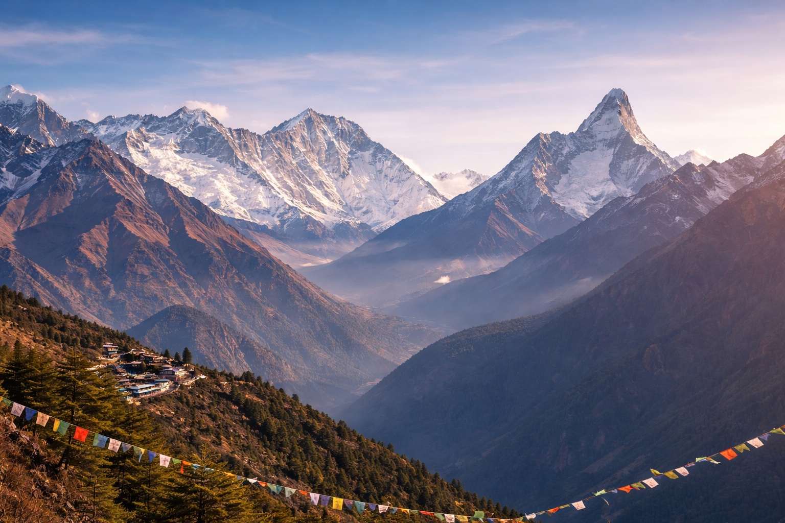
Khayer Lake, at 4,500 metres, is a sacred alpine lake beyond the Khopra Ridge viewpoint in the Annapurna region, visited by both trekkers and Hindu pilgrims, particularly during the Janai Purnima festival period each August when devotees make the journey here specifically for ritual bathing. Considerably less crowded than the more famous pilgrimage lake of Gosaikunda in the Langtang region, Khayer Lake offers a similarly dramatic high-altitude setting with a fraction of the visitor numbers.
The lake sits in stark, rocky terrain well above the treeline, reached via an extension from the Khopra Ridge trek that adds meaningful additional altitude and distance to what is already a rewarding but demanding route through the Annapurna foothills. Views from the area surrounding the lake extend toward Dhaulagiri and the wider Annapurna range, a fitting continuation of the panoramas already enjoyed from Khopra Ridge itself, further down the same trail.
Because of its elevation and remote position, reaching Khayer Lake requires a genuine commitment beyond the standard Khopra Ridge itinerary, and trekkers attempting the extension should be properly acclimatised given the altitude involved. For those willing to make the additional effort, the lake's combination of religious significance, dramatic scenery, and genuine solitude offers one of the more rewarding lesser-known destinations available anywhere in the Annapurna region.
A gradual, well-paced ascent through this section remains the best defence against altitude-related discomfort further along the route.
Basic but adequate teahouse facilities are typically available, offering a hot meal and a simple bed for trekkers passing through.
Facilities along this stretch of trail remain simple, and trekkers should carry sufficient cash, since cards are not accepted and ATMs do not exist beyond the larger towns.
Mobile signal in the area is patchy at best, and travellers should not rely on constant connectivity once they are this far into the trail network.
Weather at this elevation can change quickly, and a flexible itinerary with a buffer day or two is generally recommended for anyone travelling through this part of the route.